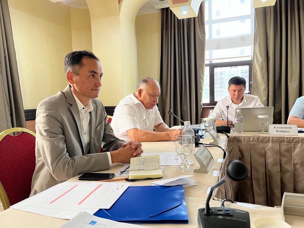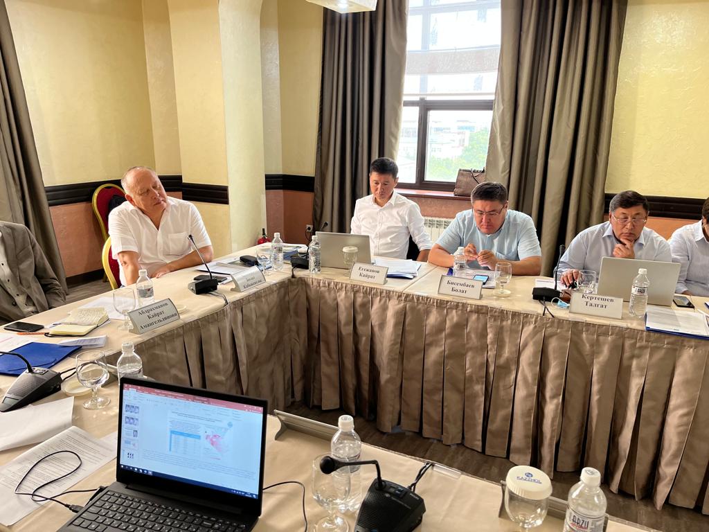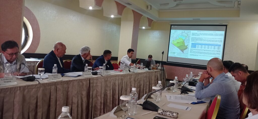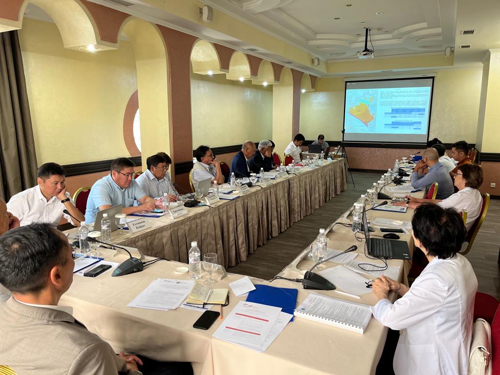
On August 4, a workshop on “Digital mapping and assessment of natural systems of the Kazakhstani part of the Aral Sea dried bottom”, organized by the International Scientific Complex “Astana” together with ECO-ARAL project, was held in Almaty. The workshop was devoted to the results of the project “Complex research assessment of natural and environmental criteria of the Kazakhstani part of the Aral Sea dried bottom (ASDB) using modern technologies of remote sensing and GIS in combination with ground works”. Specialists from state institutions and research organizations dealing with the problems of the Aral Sea region took part in the workshop.
The main results of the project were assessment and analysis as well as forecasting of changes in the main components of the ASDB natural environment – climate, surface and ground water, soil and vegetation. The aim of the analysis was to identify areas in the Kazakhstani part of the ASDB for phytoreclamation activities.
During the workshop, participants noted that the results of this project were unique. For the first time, a number of digital maps characterizing the current state of the main natural components – climate, soil and vegetation, surface and groundwater, which will be needed for the afforestation of the dried seabed, were created for the territory of ASDB. The digital maps will serve as a basis for recommendations on hazard mitigation in the dried seabed area.
Photo: ©МНК “Астана”, GIZ (ECO-ARAL)