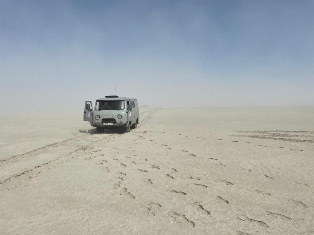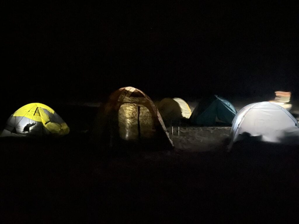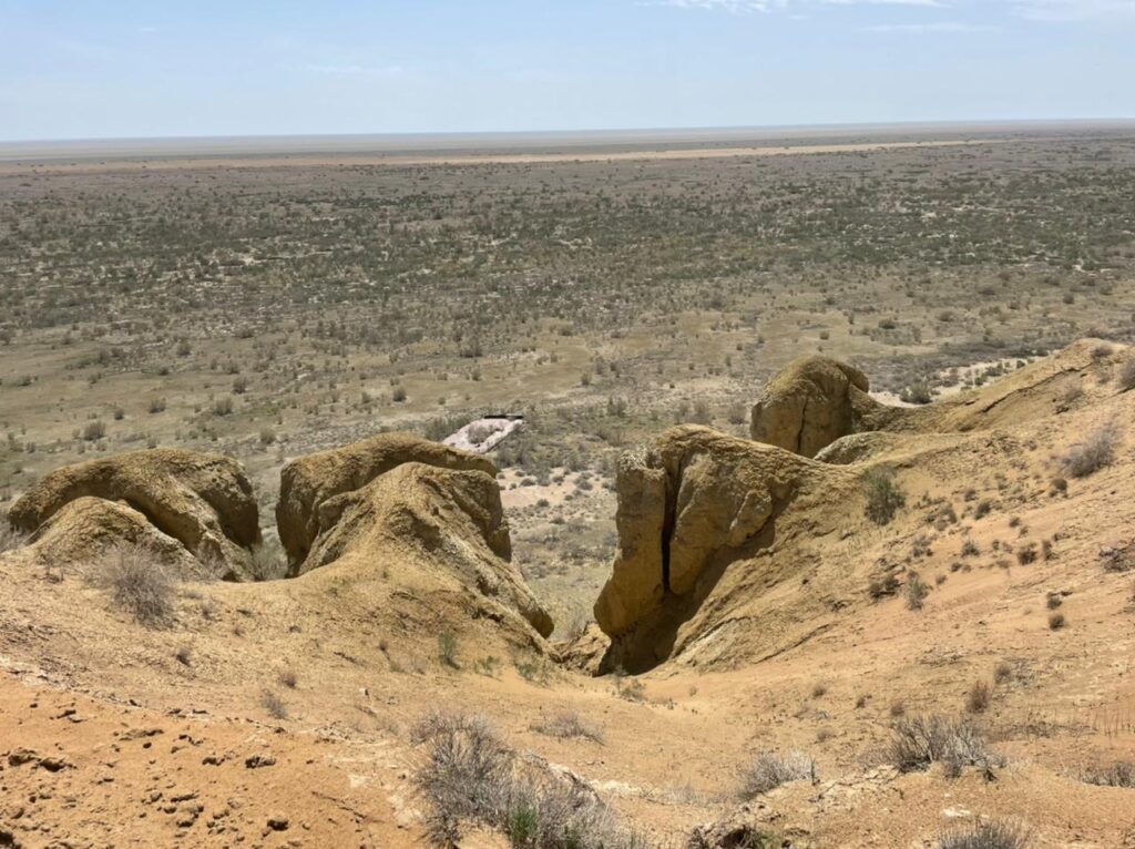
During the period from May to August this year, groundwater analysis was carried out on the Aral Sea dried bottom of (ASDB). The study was conducted in the Kazakhstani part of the ASDB and included desk and field work on the study and mapping of climatic, soil and hydrogeological conditions with determination of the depth and quality of groundwater, mapping of environmental risk zones in order to identify the most favourable areas for reclamation.
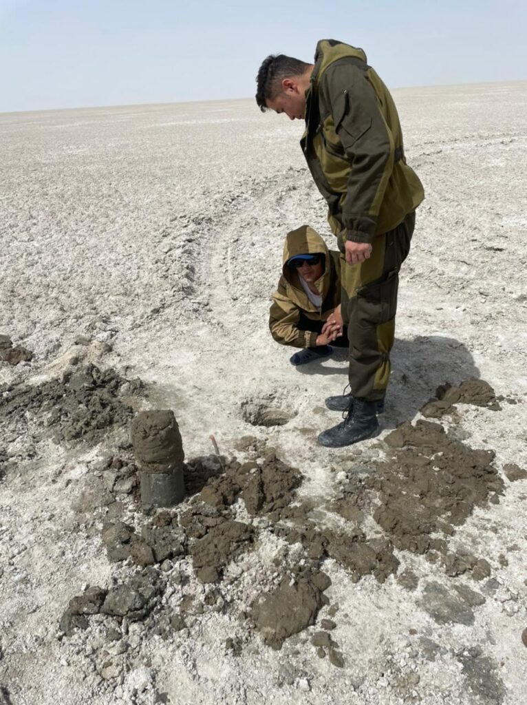
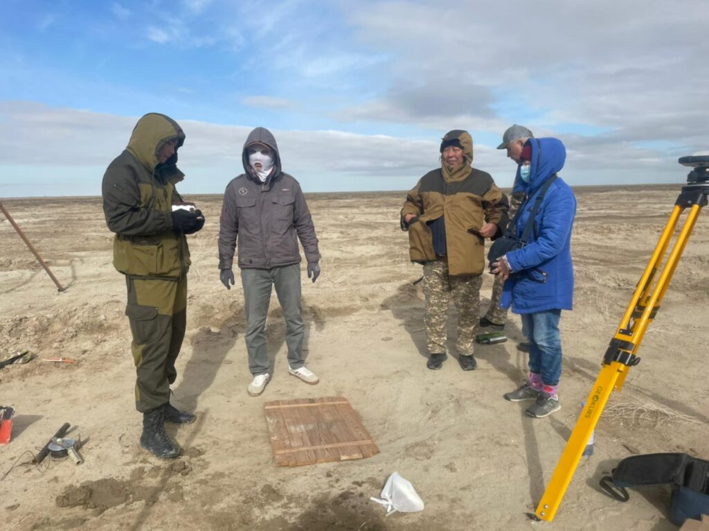
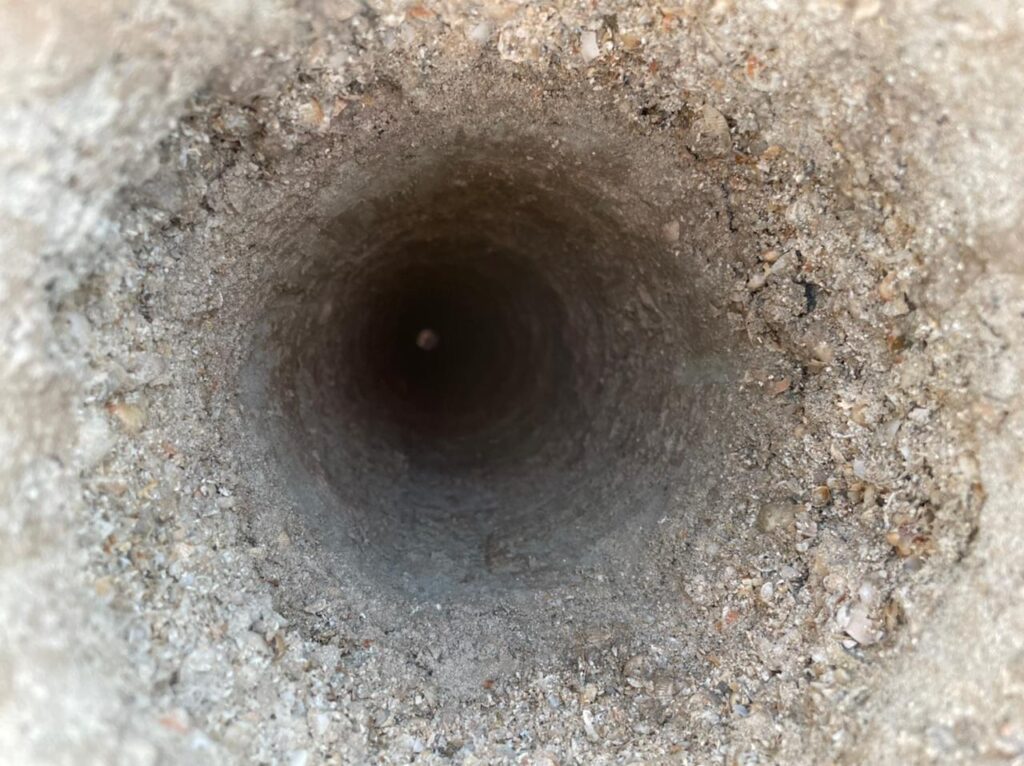
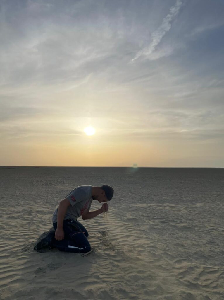
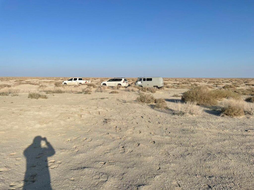
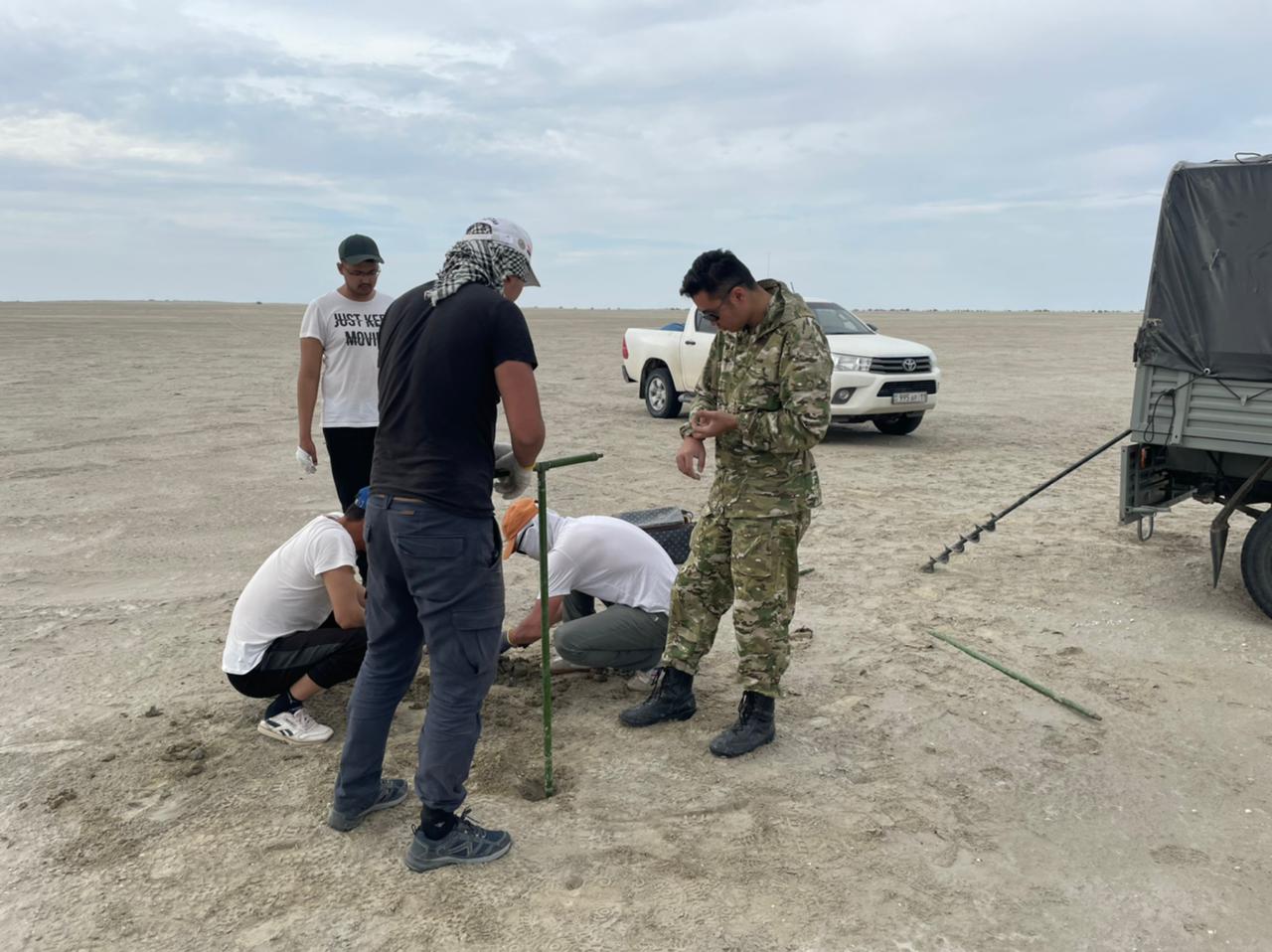
At the first stage of the pre-field studies, the available hydro-geological maps of the coastal zone of the former Aral Sea were collected, mapped and analysed. The second stage of the field research included reconnaissance routes with drilling of 27 mapped hydrogeological wells to penetrate and sample the first aquifer from the surface of modern marine sediments. In the third phase of the desk study the laboratory analysis of surface water and groundwater samples was carried out.
Thus, a map of the actual material with the mapping of the field and laboratory survey data obtained, specialised maps of groundwater depth isolines, hydroisogyps of the modern marine aquifer, groundwater salinity isolines, and a hydrogeological map of the ASDB were prepared.
The study was carried out by Mr. Issa Rakhmetov, National Expert in Hydrogeology, with the support of the ECO-ARAL project. The results of this study will be taken into account and used in a comlex research assessment of the natural and environmental criteria of the Kazakhstani part of ASDB using modern remote sensing and GIS technologies in combination with ground works, which is supported by the International Science Complex “Astana”.
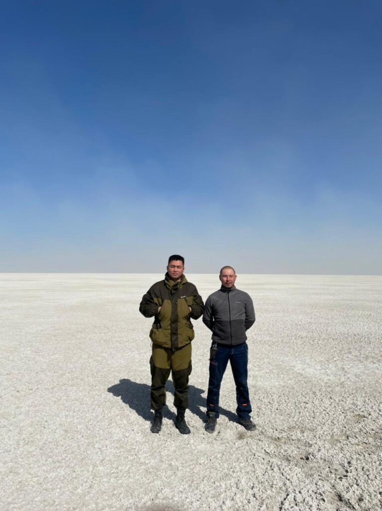
Photo: ©Issa Rakhmetov