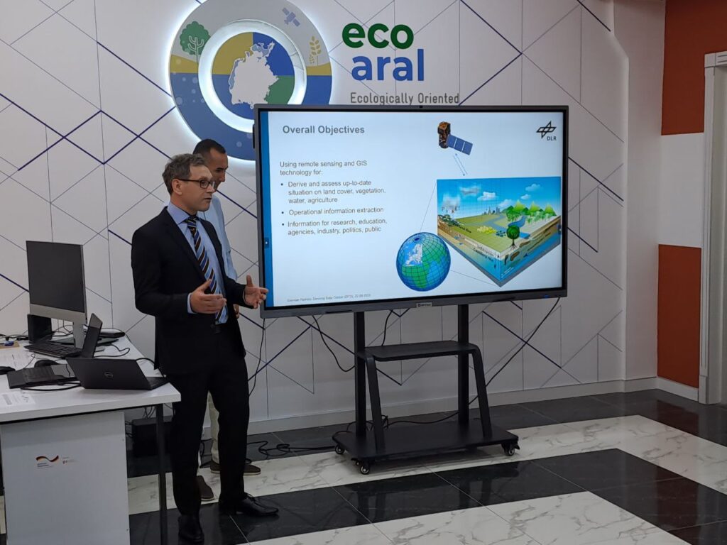
Geographic Information Systems (GIS) Laboratory at the Karakalpak Institute of Agriculture and Agrotechnologies was opened by GIZ Ecologically Oriented Regional Development in the Aral Sea Region (ECO ARAL) project in partnership with the Ministry of Agriculture of the Republic of Uzbekistan, Karakalpak Institute of Agriculture and Agrotechnologies and German Aerospace Center (DLR).

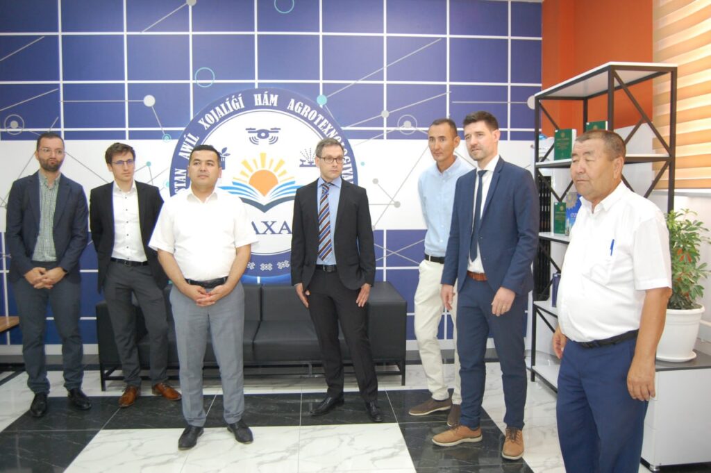
Grand Opening Ceremony of the GIS Laboratory took place in Nukus on 22nd of June 2023 in which Rector of the Karakalpak Institute of Agriculture and Agrotechnologies Elmurat Toreniyazov, Advisor to the Minister of Agriculture of the Republic of Uzbekistan Alisher Shukurov, Minister of Agriculture of the Republic of Karakalpakstan Zokhidjon Ziyodullaev, GIZ ECO ARAL Project Manager Paul Schumacher and Key Expert of German Aerospace Center (DLR) Igor Klein participated with welcoming speeches.

The opened GIS Laboratory at the Karakalpak Institute of Agriculture and Agrotechnologies will enable using open source software and analyzing all kind of geospatial data to provide more comprehensive information on land and water management and support digitalization processes. The education of young generations on usage of satellite data in combination with GIS will generate new ideas and solutions by combining tradition knowledge on agriculture and agrotechnologies with modern satellite imagery. This is of high importance as we face challenges related to changing environmental and climate and need ecological and economical sustainable solutions for these challenges.
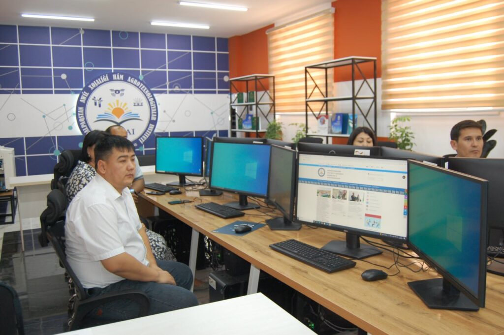
This GIS laboratory is equipped with state-of-the-art technology and offers a wide range of opportunities to develop innovative ideas, to collect and generate new information for research, enable education using modern tools, as well as provide additional information for stakeholders and decision makers.

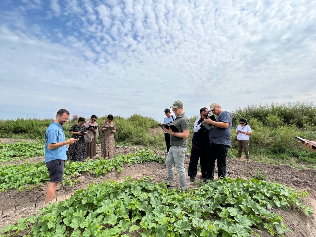
The Opening Ceremony of the GIS laboratory was followed by three-day training on using satellite data and open source software conducted by three remote sensing experts from the German Aerospace Center (DLR). The participants of the training were introduced how to collect information on fields in digital way and connect this information with satellite data to derive reliable information on large territories. The GIS laboratory can evolve to a hub for students to get familiar with this methods of data science and apply it directly for their studies.