
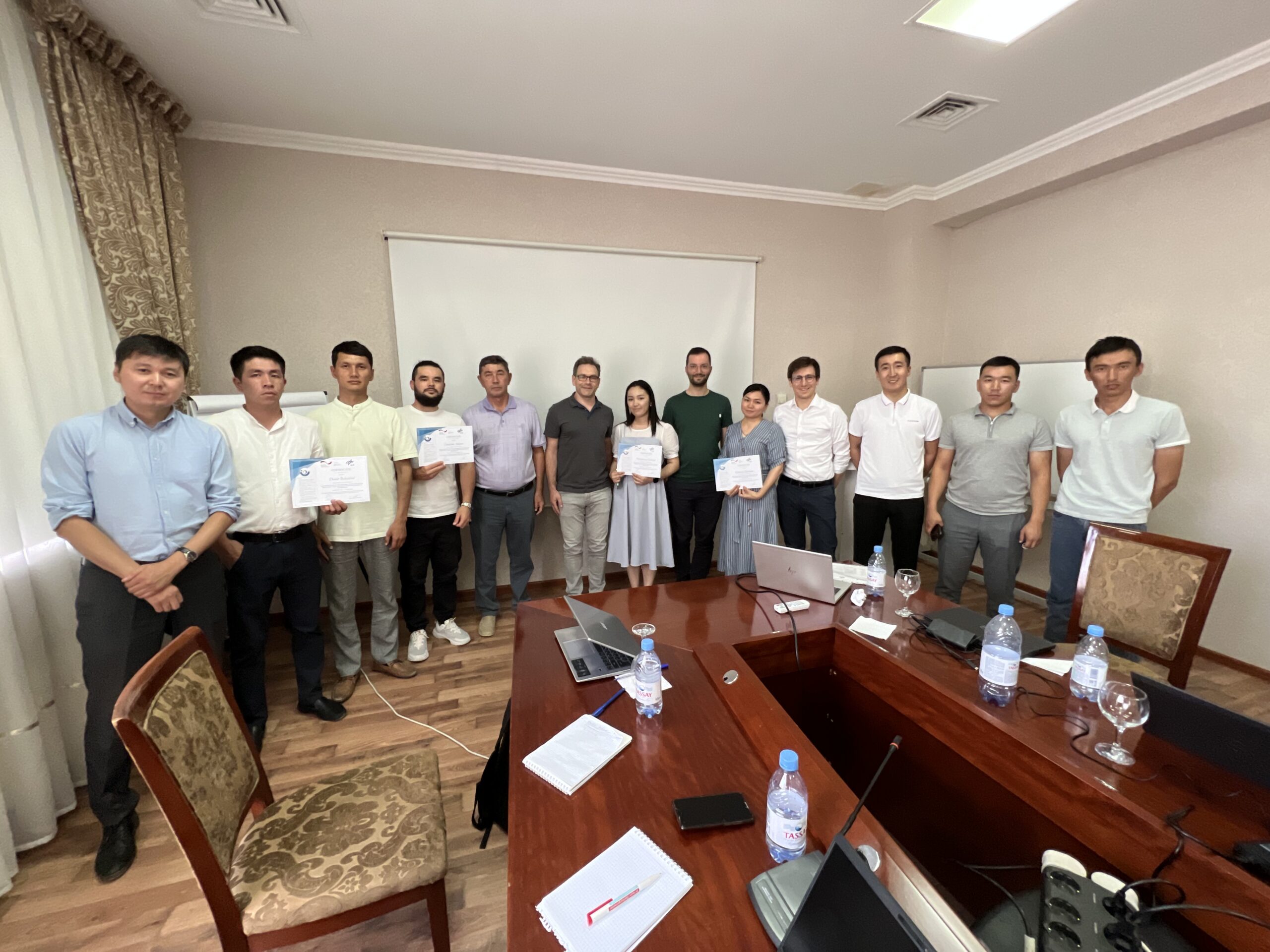

Within the GIZ regional project “Ecologically Oriented Regional Development in the Aral Sea Region” (ECO ARAL) key experts of German Aerospace Center (DLR) conducted training on the usage of Geographic Information System (GIS) and Geo Spatial and Remote Sensing Data Applications in Kyzylorda (Kazakhstan) on 26-27 of June, 2023.
The training was attended by representatives of the Akimat of Kyzylorda region, Kyzylorda regional territorial inspection of forestry and wildlife, Kazakh National Research Institute of Rice named after I. Zhakhayev, Kyzylorda hydrogeological hydromeliorative expedition, the Aral branch of the Scientific and Production Center of Fishery LLP, Kyzylorda University named after Korkyt Ata.
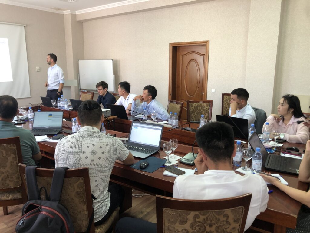
During the training, participants gained knowledge on the digital collection of ground data using KoboToolbox and KoboCollect software, as well as further integration of the collected data into Quantum GIS (QGIS).In addition, the possibilities of using the Google Earth Engine in the collection and processing of spatial data were presented.